Fiber Management for Broadband Network Providers
Take full control of your broadband network and accurately document all your records down to ISP ports, individual fiber strands, and even your copper cable pairs. This, coupled with the ability to manage the circuits that ride on those components, all contained in a single, easy-to-use digital GIS system, is CrescentLink.
Fiber Management Solution To Keep Your Broadband Network Connected
Reduce Installation and Outage Management Times With Easy to Find Accurate Data
Reduce fiber optic network errors and inaccuracies using data from a single source of truth.
Reduce time spent trouble shooting customer outages with Distance Trace and OTDR readings to pinpoint locations.
Make more informed fiber deployment decisions and improve new and overbuild designs, asset management, and customer service levels.
Improve ROI with streamlined workflows that allow anyone on your team to have access to common network data.
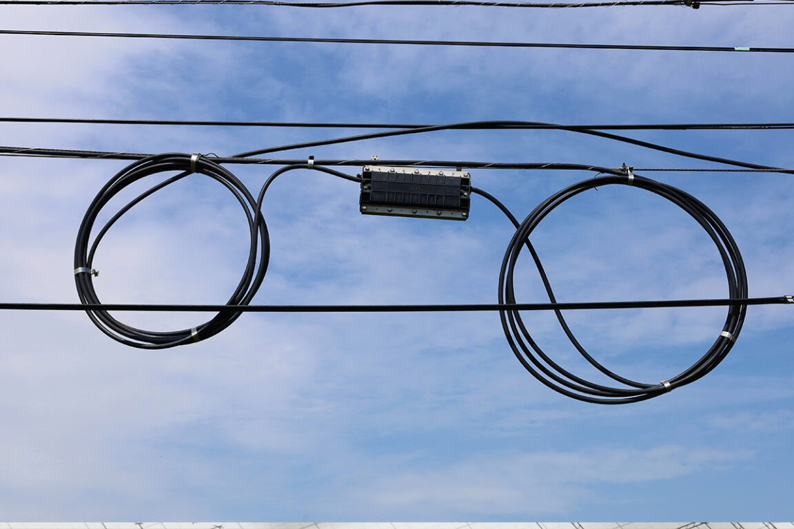
Move Away From Your Legacy CAD and Paper Maps To Leverage Your Data With a GIS-Based Digital Twin
Add-Ins or extensions built on Esri’s ArcGIS platform provide future-proofed and industry-standard resources.
Data driven GIS reduces the need for complex CAD and paper maps. Instead, all your broadband network data can be located in a single data repository.
Easy to use fiber network management tools eliminate the need for time-consuming drafting processes.
Let your data work for you by creating reports that help make decisions and improve operational efficiency.
Easy Access to All Your Broadband Network Data --- All The Time
Easily manage outside plant circuit connections without the need for supplemental information.
Visualize your fiber optic network and view a circuit from end-to-end, quickly and accurately.
Quickly access port-level equipment connectivity with your fiber map.

What Our Customers Are Saying




What Makes GEOGRAPH Different

Flexibility
Model your network to the max. Create a true digital map of your service area using our list of ISP devices, your footage details, and more. Once your map is created, it’s ready to go and easy to update. You will know where everything is, all the time.

Onboarding
Our onboarding includes a variety of training options to ensure everyone on your team has the knowledge they need to deliver better performance. Keep your team happy and improve your network operational efficiency.

Experience
Enjoy peace of mind with the knowledge that we have over 100 years of combined GIS and telecom experience. Our team understands how fiber, copper, and HFC networks operate and we have successfully helped over 160 organizations.

Support
You won’t be left on your own. Our sub-24-hour response time and our dedicated, local, in-house customer support team consistently earns 100% satisfaction ratings. We are here to help, every step of the way.


