Make Fiber Management Easier!
Build a Better Future
With GEOGRAPH CrescentLink
Take your geographically complex network data from multiple sources and transform it into a management tool everyone in your organization can use. Save time and money as you design, build, and manage your fiber, copper, or coax networks.
Introducing GEOGRAPH Academy: Learn CrescentLink Your Way!
We’re excited to announce the launch of GEOGRAPH Academy—your new go-to resource for mastering CrescentLink at your own pace. With easy-to-follow video tutorials and self-paced lessons available online, you can now dive deeper into CrescentLink’s features and tools whenever it suits you.
Whether you’re new to CrescentLink or looking to sharpen your skills, GEOGRAPH Academy makes learning simple, flexible, and accessible.
Start exploring today and unlock the full potential of CrescentLink!

What Our Customers Say


“These guys at GEOGRAPH are awesome. They are always willing to help and do a great job.”

Improve Your Network Operations with GEOGRAPH CrescentLink
Improve Network Efficiency
With all your data in one place everyone inside your organization can access the information they need, when they need it.
Preserve Network Knowledge
Stop relying on CAD diagrams, spreadsheets, or random notes on paper and create a connected communications system you can rely on for years to come.
Strengthen Team Collaboration
Enjoy streamlined workflows so all departments inside your organization have access to the same clean, accurate, and up-to-date data.
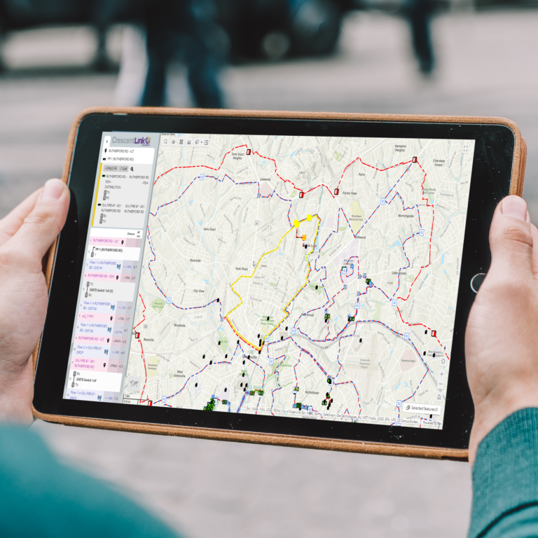
A Better Way to Design + Manage Your Network
Plan Smarter.
- Build material and cost estimates, design construction prints, and keep all project details at your fingertips.
- Identify the most efficient routes, predict capacity requirements, and optimize network performance.
- Predict ROI for new installations and overbuilds.

Build Faster.
- Model all inside plant devices to mimic your network.
- Include an unlimited number of sites, buildings, or equipment types.
- Create splice diagrams and share with field staff.
- Utilize proposed splicing to better manage current and future connections.
- Improve your as-built process by reducing inaccurate or missing information.

Take Control.
- Experience faster outage resolution using distance trace and OTDR footage.
- Reduce operational costs associated with truck rolls while maintaining customer service levels.
- Collaborate across teams and share reports with those that need it.

Clients We Support











GEOGRAPH CrescentLink is an extension of the Esri® ArcGIS® Desktop and Pro software. It was designed to identify opportunities, seek out problems, and devise solutions by creating a big picture view of fiber, copper, and HFC networks. CrescentLink integrates seamlessly inside the Esri ecosystem and allows for efficient collaboration and compatibility. GEOGRAPH is proud to be an Esri® Gold Partner.

GEOGRAPH User Conference
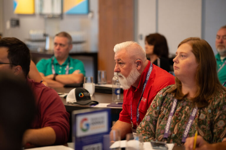






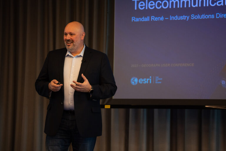
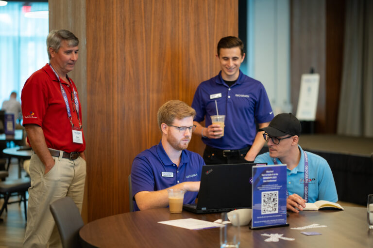








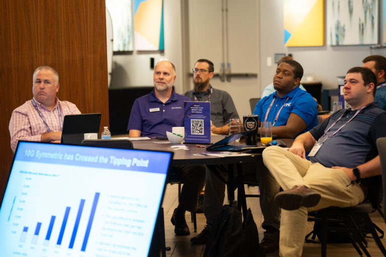
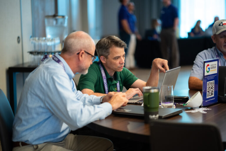


Make plans to join us for our 2025 GEOGRAPH User Conference.
August 26-27, 2025
The AC Hotel by Marriott in Greenville, SC
GEOGRAPH is Proud to Partner With These Associations
