
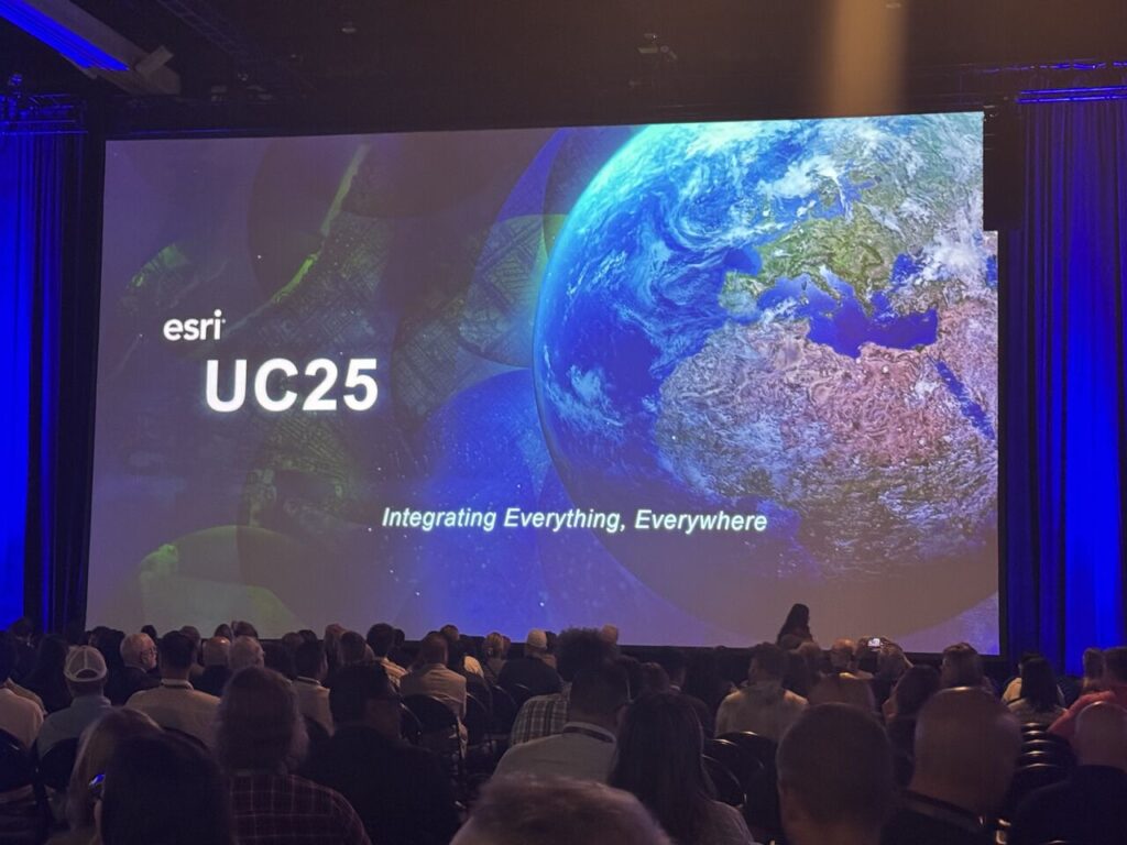
The Esri User Conference brought together thousands of professionals who are shaping the future of geospatial technology and it couldn’t be more relevant for organizations building and maintaining fiber networks. For broadband providers, electric cooperatives, and municipal-owned networks, the conversation isn’t just about maps. It’s about smarter data, integrated systems, and resilient infrastructure.
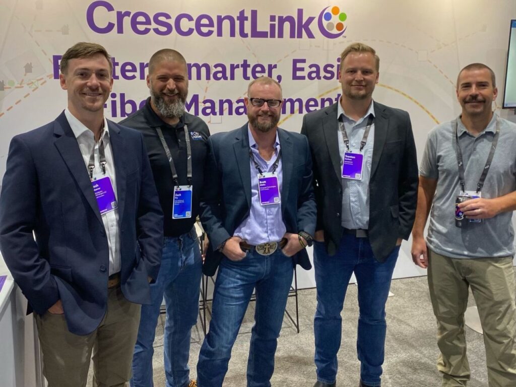
At GEOGRAPH, we attended with a clear focus: understanding how the latest GIS advancements can be applied directly to the challenges our customers face every day. The conference reinforced a key message: we’re in the middle of a significant shift in how fiber networks are designed, managed, and scaled. Below are the key themes that stood out, and how they can make a real impact for teams delivering connectivity to communities.
1. Unified Network Visibility Through Seamless GIS Integration
One of the central messages of the conference was the importance of integrating GIS with other enterprise systems to create a unified, data-driven workflow. For fiber operators, this means bringing together GEOGRAPHic data, design files, asset records, and customer information into a single, accurate view.
This kind of integration eliminates silos that slow down operations and introduce risk. When GIS is connected with internal systems, whether through automated processes, shared platforms, or digital twins, teams can work from a common source of truth. Every stakeholder knows where things are, what condition they’re in, and how changes in one part of the network affect the whole.
At GEOGRAPH, we’ve built our CrescentLink platform around this principle. By creating a digital twin of your network that combines GIS, inside plant, and customer data in one place, we help organizations improve accuracy, speed up decisions, and reduce the time spent chasing disconnected records.
2. Turning Unstructured Data into Actionable Insights
Another major theme was the growing importance of unstructured data (field notes, photos, inspection videos, even handwritten documents) and how it can be incorporated into GIS-based workflows. Traditionally, this type of data has been hard to organize or analyze, often living in separate folders, notebooks, or apps.
The new direction is clear: GIS platforms are evolving to support more dynamic and varied data sources, giving network teams a richer picture of their assets and environments.
This matters because so much of fiber network management depends on what happens in the field. Being able to attach a photo to a splice location, or link a field technician’s notes to a specific map feature, can streamline maintenance, improve documentation, and reduce repeat visits. The ability to visualize and act on this data through your GIS platform supports faster, more informed decisions in day-to-day operations.
3. Resilience and Sustainability Through GIS and Digital Twins
With climate change, aging infrastructure, and rising demand for high-speed internet, the need for long-term network resilience is increasing. GIS is playing a growing role in this space by helping teams model, simulate, and plan for real-world risks, whether it’s flooding, wildfires, or equipment failures.
Digital twins, in particular, are becoming a powerful tool for utility and broadband providers. They offer a spatially accurate, always-updated model of the network that helps anticipate vulnerabilities and plan upgrades more strategically.
By using GIS to visualize risk and model scenarios, organizations can not only respond more effectively to issues, they can prepare for them. This leads to more sustainable infrastructure investments and fewer unexpected costs.
At GEOGRAPH, we see digital twins as an essential part of proactive fiber network management. By maintaining a current, complete model of your assets, you’re better positioned to scale efficiently and protect your network’s future.
4. Looking Ahead: AI and the Future of GIS in Fiber Networks
While many of the conference sessions focused on current capabilities, there was also clear momentum around future trends, especially the role of AI in GIS. From automating routine tasks to generating predictive models, AI is beginning to change how spatial data is processed and applied.
For fiber and broadband providers, this could mean faster fault detection, optimized route planning, or even automated validation of design standards. While these tools are still emerging, the direction is set: GIS platforms are becoming more intelligent, and the organizations that embrace these innovations will gain a competitive edge.
GEOGRAPH is actively tracking these trends, ensuring that our roadmap stays aligned with what’s next. Our goal is to help customers not only adapt to change but benefit from it.
From Insights to Action
The themes from this year’s Esri User Conference weren’t abstract, they pointed directly to opportunities for real impact. By integrating systems, organizing unstructured data, modeling risk, and embracing innovation, broadband and utility networks can become more agile, efficient, and resilient.
At GEOGRAPH, we’re committed to helping organizations turn these insights into results. Whether you’re managing a complex network footprint or planning your next expansion, our team is here to guide you every step of the way.